
The Challenge
Background:
High above us, unseen satellites trace their paths around the Earth. Where are they? How do they move around our sky? What would the sky look like if they glowed like stars, and we could see them tracing orbits across the sky?
NASA has data about satellites and other objects in orbit. Their trajectories are well known and documented. Would the public develop a different relationship with the sky if people could see the ever-shifting constellations of engineered artifacts enriching our lives here on Earth?
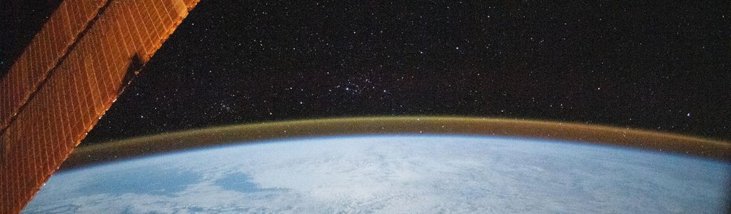
In broad strokes, your challenge is to bring satellites a little closer to home, with an eye towards driving user engagement, enthusiasm, and exploration. Can you develop a method or tool to enable a user to look up and see a simulated night sky, with representations of the current positions of satellites and other tracked objects in or near Earth orbit? What would the sky look like if we could see their orbits? As a bonus, can you allow a user to select a particular satellite and access its view of Earth? This would let a user jump up to orbit and expand their perspective in a new way.
This project will boost public engagement, increase interest in STEM and space sciences, and raise enthusiasm for space-related programs.
Potential Considerations:
- How can your tool accept a location as input and display a view of the sky from that location? You may annotate satellite positions on the sky display with basic identifying information (e.g., "GPS-3"). Other potential features:
- You may add vectors to the satellite points, indicating their trajectory.
- You may add additional details about the satellites.
- When in the satellite's point of view, you may update the viewpoint as the satellite moves.
- You may add an optional "date" argument to the initial inputs; if used, the satellite map displays the satellites that would be present at that time.
- You may add fast-forward and rewind to see the arcs that satellites trace through the sky over time.
- You may add additional information to satellites, which would be accessible through interacting with them on the visualization.
- Are you able to make the satellites selectable? What if selecting them changes the user's view to a "satellite's eye" view, showing them the world from the satellite's location? This might bridge the gap between living room and orbit with the ability to 'jump' into a satellite's viewpoint to see your hometown and planet from the sky.
- Non-software, alternative submissions that engage with the core goals (driving user engagement and making the Earth's satellites more accessible or “explorable”) are also acceptable.
- Consider using Augmented Reality or “gamifying” your project. How about adding social networking?
- Judging will be based on fulfillment of the challenge, creativity, and user interface.
- Some satellite viewers already exist (search keywords: satellite viewers). Each of them has strengths and weaknesses. For example, some have a wide array of viewing options, but few total satellites to view. Others have more satellites, but they are locked into a space-centric view. While none of them captures all desired features, they're great tools in their own right, and may prove helpful as examples for this project.
- Two Space Apps 2019 submissions deserve particular mention as foundational projects: OLS-RO's OLSPACE mobile AR app, and the Blind Men and the Elephant's satellite locator. Both are great examples of different approaches to this problem. Current participants in Space Apps 2020 may (but are not required to) consider seeking to expand on this base by adding options for further interactivity, such as jumping between ground and satellite view, or features to reward exploration. As always, you must cite other projects that you use as resources.
For data and resources related to this challenge, refer to the Resources tab at the top of the page.
NASA does not endorse any non-U.S. Government entity and is not responsible for information contained on non-U.S. Government websites.