
The Challenge
Background:
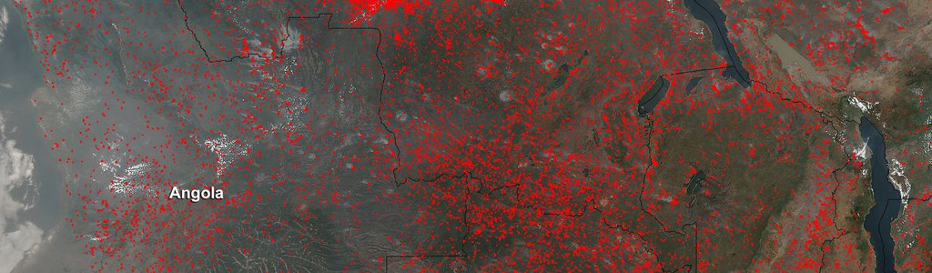
Natural phenomena like disasters can have major impacts on our ecosystems, economies, and safety. Weather events create a number of impacts to public safety, and Earth observations are often used to help identify their location, extent, duration, and potential impacts. For example, dramatic imagery of tropical cyclones is used to understand storm size and severity. Strong wind events and thunderstorms can create widespread, blowing dust that limits visibility and impacts local health. In some scenarios, light to calm winds allow for broad development of low clouds and fog that limit visibility with impacts to pilots and road travel. Heavy rain events can lead to rapid snowmelt and other factors contributing to flooding conditions lasting for days or weeks, and severe thunderstorms can produce damaging winds, hail, and tornadoes with damage visible to crops and other vegetation.
In order for researchers to conduct detailed studies and create mitigation strategies to reduce these impacts, they need to be able to detect natural phenomena quickly and study them in depth. Earth observations from open-access NASA data sets are often used to monitor these hazards and their impacts. Machine learning-based models can help researchers rapidly map hazardous weather situations, and assess their intensity and scope of impacts.
NASA produces large volumes of satellite remote sensing data that could be used to detect and track natural phenomena. However, many of the phenomena are not detected or tracked automatically within the vast data archives. This leaves researchers with the monumental task of manually searching through petabytes of data for occurrences of the phenomena.
Your challenge is to choose an interesting phenomenon and develop a machine learning model that automatically detects it in satellite data. Then, develop a visual interface— such as a web application or tool— that not only displays the detected phenomenon, but also layers it alongside ancillary data to help researchers and decision-makers better understand the impacts and scope of the phenomenon.
Potential Considerations:
- A resource section is provided to help you select both a phenomenon and the appropriate satellite data to use for training the model. For example, for ancillary data, you might (but are not required to) visualize smoke detections alongside population data or layer flood detections alongside disease outbreaks in at-risk populations.
- When creating your visualization, first make sure that you can show the phenomena detections on a map. Then work to layer additional data that clarifies the scope and impact of the detected phenomenon. Approach the impacts section in a way that has societal relevance, such as impacts on agriculture, vulnerable populations, or the economy. You should think about how the data you choose to layer adds value to a researcher's understanding of the detections. See the resources section for examples of data that you might choose to incorporate.
- Machine learning in the Earth sciences can often be hindered by the data itself. You might (but are not required to) explore ways to augment the data before training, such as removing unwanted features like clouds from satellite imagery when detecting Earth surface features, or using style transfer to allow you to use data from multiple sources in the same model. You may consider the data augmentation to be a bonus task, as the main focus of the challenge is the phenomena detection and visualization.
For data and resources related to this challenge, refer to the Resources tab at the top of the page.
NASA does not endorse any non-U.S. Government entity and is not responsible for information contained on non-U.S. Government websites.