The Challenge
Develop a user-friendly application or tool to discover, visualize, and analyze NASA Earth data for monitoring our home planet.
Background:
Over the years, NASA has launched many Earth-observing satellites to monitor Earth's conditions (e.g., weather, climate) on a global scale. However, selecting, processing, and analyzing satellite data can be a daunting task for many, including scientists. User-friendly tools and applications can broaden the use of NASA data, maximize the societal benefits, and motivate the next generation to pursue science and science applications.
Your challenge is to develop a tool or application to allow users to discover and potentially visualize NASA Earth datasets that can help users monitor our home planet and improve their daily lives.
Potential Considerations:
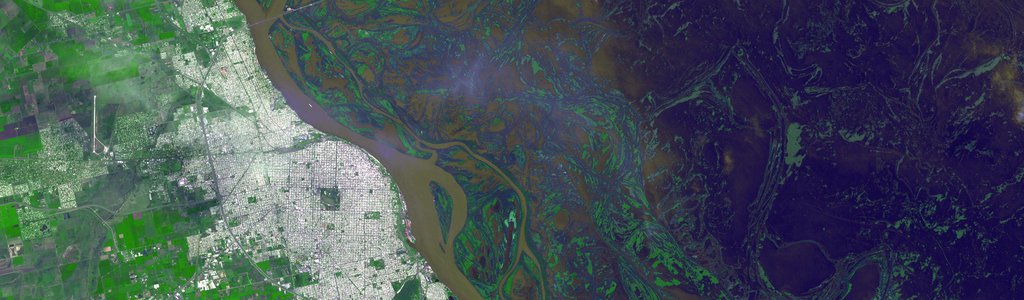
- For example, you could (but are not required to) allow a user to select an area of interest and the types of phenomena they are interested in monitoring, then get suggestions of relevant space agency datasets or models. These could include data for natural disasters (e.g., floods), weather, climate, disease outbreaks, agriculture and more. Your project could also allow users to pull, integrate, analyze, and visualize data from space agencies.
- A key component of the app should be to help users find the Earth science data relevant to their needs. This could include a recommendation system that asks users questions and suggests relevant NASA Earth datasets, or a directory that makes user-friendly versions of the data easier to find. For example, a user interested in monitoring rainfall conditions in their area would be directed to NASA global precipitation datasets such as IMERG (the Integrated Multi-satellitE Retrievals for GPM (Global Precipitation Measurement)).
- For advanced challenge participants, a data visualization component could be included. This could (but is not required to) include:
- a geolocation info input (zip code, county, watershed, state, country, continent, the globe)
- select NASA datasets
- visualization of these datasets/parameters
- begin to monitor (with automatic data update
- Can you provide multilingual support? Is your tool for mobile device and/or desktop (more viewing space)? How will users perform data analysis (e.g., anomaly detection and notification setup) and view time series?
- You may (but are not required to) include these features:
- Let users easily discover NASA Earth datasets that are relevant to their needs
- Once these datasets have been discovered, provide ways for users to easily access or learn how to use the data for their needs
- Advanced features may (but are not required to) include:
- Demonstrate the ability to set up the monitoring environment
- Demonstrate the ability to obtain image and data from existing NASA resources
- Demonstrate the ability to conduct basic data analysis and visualization (e.g., image, time series)
- Demonstrate the ability to record data received by the app for later use
- Conduct advanced data analysis (anomaly or event detection) and send out notifications if a threshold is reached
- Note: Currently, NASA WorldView can only provide limited visualization (single or overlay view of NASA datasets and comparison) and it is difficult to customize it for monitoring purposes. Also, WorldView lacks data analysis capabilities because data to generate image pixels are not available or ready for use. However, the resources behind WorldView such as the GIBS API can be leveraged in this project. How can your solution overcome these limitations?
- Search keywords: translator library for raster and vector geospatial data formats
For data and resources related to this challenge, refer to the Resources tab at the top of the page.
NASA does not endorse any non-U.S. Government entity and is not responsible for information contained on non-U.S. Government websites.