
The Challenge
Background:
A number of groups around the world have developed a range of new datasets aimed at mapping the Human Planet – human settlements and associated population and infrastructure – much more consistently over time and across regions. These datasets provide new insights into where people live, the patterns and type of their buildings, roads, and other infrastructure, the extent of impervious surfaces affecting storm runoff and flood risk, and many other aspects of both urban and rural landscapes important for development. However, learning how these global-scale datasets can be harnessed to help users at the local and regional levels remains a major challenge. We often do not understand how local conditions may affect the interpretation and use of global data, or if there are local datasets that can be used to validate or improve the global-scale data. Another important need is to summarize and visualize data from remote sensing in ways useful for local users, e.g., preparing summary tables and charts by relevant administrative or other units such as watersheds or commuting zones.
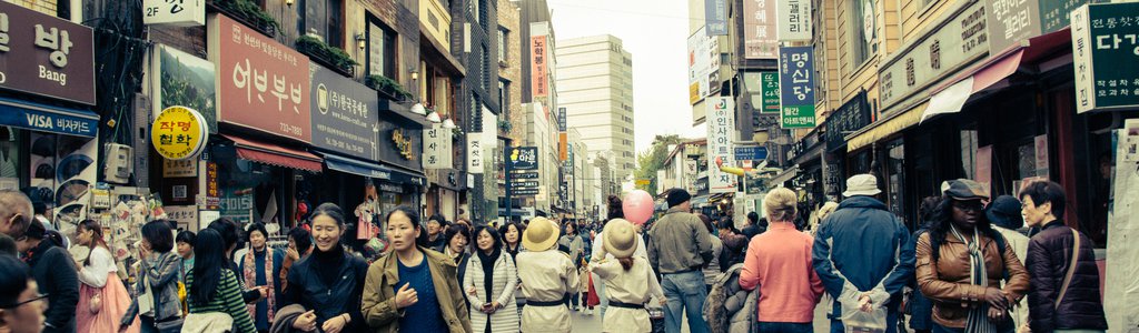
Understanding where people live, and what their settlements and infrastructure are like, is a key issue from a range of perspectives. Planners need information on where to expand or improve infrastructure; emergency responders need to know how many people may be affected by an extreme event; public health specialists need to know how many children need vaccinations or better access to clinics; businesses need to analyze access to markets; and humanitarian organizations need to find those who might otherwise be left behind.
Data based on remote sensing can provide more consistent and up-to-date data on settlements, infrastructure, and people, but do not necessarily provide the full range of information needed for many applications and decisions. Innovative ways to join remote sensing and relevant, locally available data could help address specific challenges faced by local users from government, industry, and civil society.
Your challenge is to apply new methods for mapping people – our settlements, infrastructure, population, and activities – in ways that can help everyone understand and meet human needs related to disasters, climate change, public health, food, water, energy resources, and other aspects of sustainable development. Your project should link remote sensing data on the "Human Planet" with other types of data on human societies and environments to provide a better understanding of dynamic interactions between human and environmental systems, and to give decision makers and applied users more reliable information on where and when people will be at risk or need to take action.
Potential Considerations:
- Solutions may take the form of a new mapping tool or interface that combines different data sources to support a specific type of decision or user, or that helps users collect relevant local data in a way that enhances the utility of other data coming from NASA and community empowerment. Alternatively, projects could take advantage of existing open source platforms by finding ways to use Human Planet data in conjunction with crowd sourcing approaches to address a need or solve a problem.
- Think broadly about what type of application you wish to create. You are not limited to standalone applications on mobile platforms; you may also consider interactive tools and back-end services implemented in a browser or third-party environment.
- Clear identification of user needs—and the best ways to communicate with target users—is a key step in this challenge. For example, although mapping is a key way to make data and information relevant to local users and decision makers, that does not necessarily mean that tools and data have to be presented as maps. Other types of summaries and visualizations may be more meaningful to some users. In some cases, it might even be better to enhance a tool or system that users already use, rather than create a completely new tool.
- For example, remote sensing can provide important indicators of how strong or fragile buildings are when subject to floods, earthquakes, or other hazards—but local data and observations are most helpful to understand who is living or working in the buildings, whether structures meet local or national building codes, and if there are specific local factors that increase or decrease vulnerability. As appears to be the case for the COVID-19 pandemic, the age structure of the population may play a key role in disease transmission and impact, together with urban density, population movement, and access to health care facilities. How can we collect, update, validate, and integrate these different types of data more easily and rapidly to make them more useful?
- In choosing what problem and users to target, it may make sense to focus more narrowly on a specific challenge and type of user, or a specific geographic area, rather than a broad set of users. This could allow you to be more creative in terms of finding relevant local data, addressing specific challenges, and documenting potential impact. The size of the potential user base is less important than the potential utility of an app in impacting awareness or decisions.
- Participants in this challenge may draw on a range of open source data and associated data services from NASA and other organizations on Human Planet themes.
For data and resources related to this challenge, refer to the Resources tab at the top of the page.
NASA does not endorse any non-U.S. Government entity and is not responsible for information contained on non-U.S. Government websites.